I’m excited to be able to share my public burial archaeology paper, “Public Engagement through Burial Landscapes: Cupids and Ferryland, Newfoundland” with all of you!
It was released today, along with many other articles on public burial archaeology in AP: The Online Journal in Public Archaeology’s Special Volume 3: Death in the Contemporary World: Perspectives from Public Archaeology.
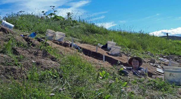
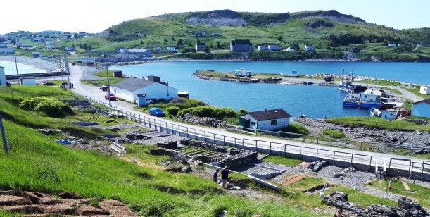
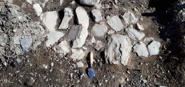
My article discusses ‘lost’ burial grounds – burial grounds which are known to exist, but have yet to be identified – like the 17th-century burial ground at Ferryland, and how discussion with visitors on historic burial practices can often lead to a dialogue on modern burial practices.
If you are interested, I’ve put a link HERE, where you can download the entire volume or each paper individually. It’s an open-access journal too, which is amazing! (If you’re going to do a Public Archaeology journal, it really should be open-access or it’s negating its own point.) I’m so pleased to be able to share this research with you all. While you’re at it, check out the amazing papers by everyone else in the volume, it’s chalked full of deathy-arch goodness!
Citation:
Lacy, Robyn S. 2018. Public Engagement through Burial Landscapes: Cupids and Ferryland, Newfoundland. AP: Online Journal of Public Archaeology, Special Volume 3: Death in the Contemporary World: Perspectives from Public Archaeology. Pp. 55-78. Available online: http://revistas.jasarqueologia.es/index.php/APJournal/issue/view/14/showToc