Spade & the Grave

death and burial through an archaeological lens


6 Comments

Burial Ground Mapping in New Perlican: Total Stations & Gravestones

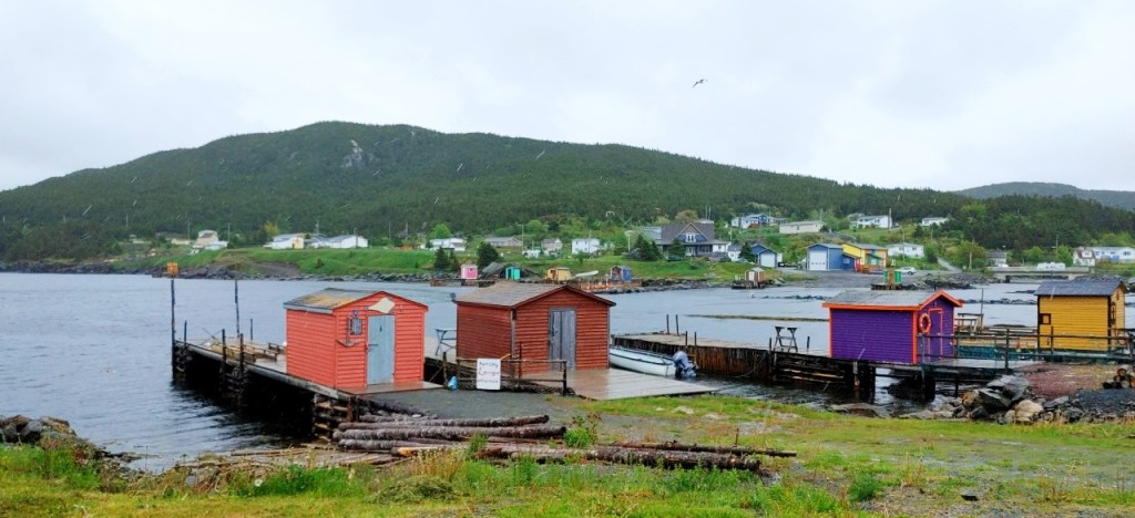
If you’ve been a reader for more than a minute, you might already know that some of my PhD research is taking place in the outport community of New Perlican. Well, I’m currently working on my second comps paper, and that means it’s time to write another blog post to let some of that writing energy go somewhere, now that I’ve met my page goal for the day!

Today I wanted to share the maps that were made for my project by my colleague Bryn, who is a mapper extraordinary and taught myself and Ian how to use the total station theodolite (TST or total station) ((which is something I need to remember finally, rather than re-learning every time I need to use one)). The benefit of using the total station to record the gravestones is that not only are they geo-referenced within cm’s accuracy, but it allowed us to create accurate maps of the gravestones for the community to have on record in their archives.

Bloody Point grave marker 1, BP1 (Lacy 2021). This is an excellent example of a rough fieldstone.
Continue reading


4 Comments

Site Visit to Bloody Point, New Perlican, NL

Another summer, another field season! While I couldn’t really write much last summer in the field, because I was working in CRM in Ontario, this year I’m back in Newfoundland doing my own research. You know what that means…updates from the field, as far as the eye can see! I’m really looking forward to getting back to some research surveys rather than just digging test pits as fast as possible in the sun (as important as CRM is).

Today myself and my husband Ian joined my supervisor Dr. Shannon Lewis-Simpson in the outport community of New Perlican, in Trinity Bay. If you’ve been following my blog for a while, you might remember when I did work at one of the cemeteries in New Perlican in 2017 (you can find those posts HERE and HERE). Part of my dissertation research for PhD is looking at the development of the burial landscape in New Perlican, which has been settled by European settlers since the 17th century, and how those burial spaces changed in relation to the settlement and the churches through the centuries to today. Today’s trip, however, was just to visit the site of the Bloody Point cemetery…a site which we suspect could date to the 17th century!

Beautiful fishing stages in New Perlican harbour (photo by Ian Petty 2021)
Continue reading


10 Comments

Photography of Gravestones for a Historic Survey: A How-To Guide

This weekend, as the leaves are starting to change colour across Ontario, I have been thinking about gravestones (are you surprised?). More specifically, taking excellent photos for your historic survey of a burial ground. Of course, you can take photos any way you see fit, but this blog post is a guide to taking standard grave marker photos that optimise light, angle, and people that you have helping with the survey. Below, you will find examples of best practices for standardised gravestone photography, and some good examples of *not* to do.

I hope you can find some helpful tips in this post to take to your next project, or to share with a community that you are working with! All the photographs in this blog post were taken by me, unless otherwise noted.

The author kneeling to photograph a headstone (photo by Ian Petty 2020)
Continue reading


3 Comments

New Perlican: Blank Gravestones & Mapping

22627581_10155298965582983_2012522379_n

Myself, mapping away on our plan of St. Mark’s! Photo by Ian Petty

Yesterday I headed back to New Perlican with Ian Petty (2nd year MA student in Archaeology at MUN) to meet up with Dr. Shannon Lewis-Simpson from Memorial University of Newfoundland in order to continue with the surveying of the St. Mark’s historic burial ground. The weather was not ideal and I was hard-pressed to remember if we’d used a plastic drafting film or normal paper to draw the map on in the first place, so with rain in the forecast our fingers were crossed!

I wanted to go get as much of the burial ground mapped as possible before the rain set in…and before I had to start my new job! There will be more details on that major life change later though, this post is still about the burial ground in New Perlican.
Continue reading


7 Comments

Community Mortuary Archaeology & Folklore – New Perlican, Newfoundland

This Saturday I was invited to speak at and participate in a community heritage & folklore event in the town of New Perlican, Newfoundland. New Perlican is located on the eastern coast of the Avalon Peninsula, and has dated back to the 17th-century through records such as the 1675 Berry Census and archaeological evidence of a ‘plantation’ in the area. It is suspected that several of John Guy’s settlers from the 1610 Cupid’s Plantation may have settled in New Perlican in the early 17th century, but there has yet to be any physical evidence of that move identified.

The event I was involved with was a collaboration between the Heritage Foundation of Newfoundland and Labrador, Memorial University of Newfoundland, and Heritage New Perlican, and involved something really that I’m pretty passionate about…burial grounds! Students and community volunteers would join us for the day to learn about the history burial places in this historic town, hear about the town’s history from members of the Heritage group, meet the cemetery cleaning ‘Goats of New Perlican’, and help the community clean up one of their most historic burial spaces. I was there as an additional help supervising the students, to answer questions on burials and gravestones (and have some awesome conversations about headstone preservation with local folks!), and to give a talk about my research as a historic mortuary archaeologist. Also, to map a bunch of gravestones!
Sept30_1 Continue reading